|
|
||
|
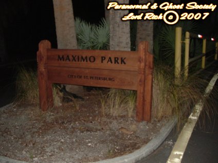
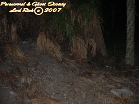
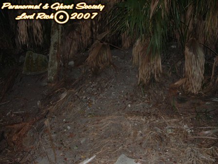
Maximo Beach and Archeological site is one of the
few remaining sites where an shell midden is still in tact surrounding the
St. Petersburg area. This location is rather ancient all the way 12,000
B.P. to about 1528 A.D. So basically the Paleo-Indian through the Spanish
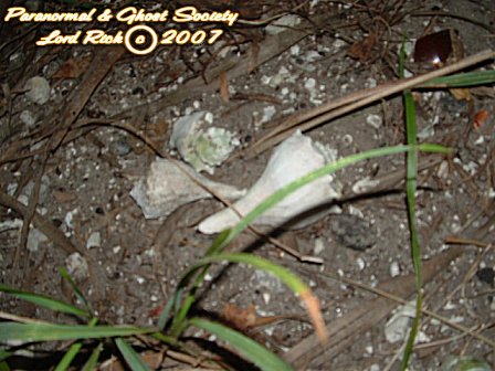
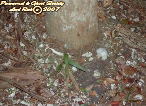
Exploration period. Over the years many artifacts have been recovered
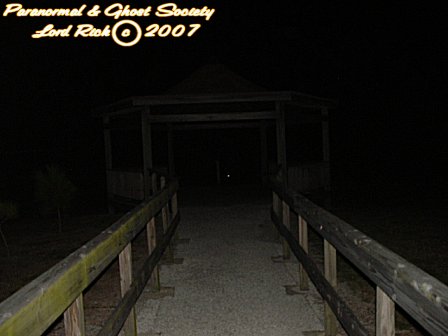
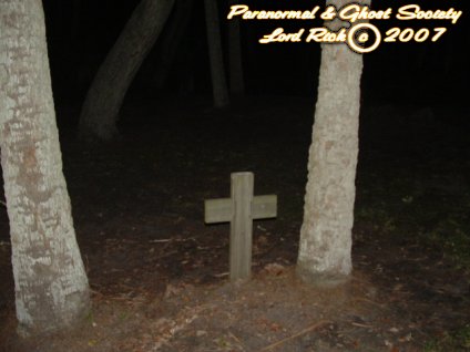
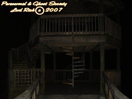
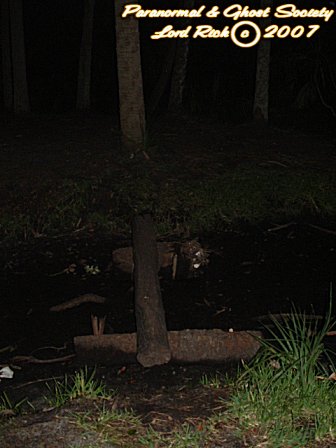
along its beach and offshore mudflats. I will bring you a few photos of
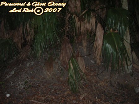
the mounds below so you can see the weathered mounds. Also its rumored
that in 1400 A.D. the village vanished nobody knows the reason why the
white man did not explore this area till 1528 so what really happened?
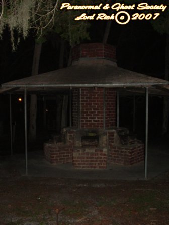
Most of the larger mounds have been consumed by rising sea levels over the past 8,000 years hence why some artifacts wash up in the Boca Ciega Bay. After the water started to consume the mounds a larger one and midden temple complex would be formed at Maximo Point. Just like this mound many of the dozens of Mounds around Tampa Bay were built at points where small streams and inlets enter the Gulf Of Mexico much like the one in Crystal River we visited. The Indians could collect shell fish...hunt..fish etc and then contribute the leftovers to the middens. When the glaciers started to melt the seas started to rise that is why most of Maximo's Mounds are beneath the sea now. But when the mound existed it had a horseshoe shape. What is left of it I have in the photos further below.. The park is not only known for its Indian Mound Complex but it also is known for being the site of Antonia Maximo Hernandez's Homestead who was the first white settler on the Peninsula called Saint Petersburg today. Sometimes visitors who swim at the beach find shards from various jars left over from the homestead. Although many have not heard of this early pioneer he was a landowner, fisherman, business owner, guide etc and he also directed soldiers at Fort Brooke to various fishing locations. He also took soldiers to Egmont Key in search of turtle eggs and aided the Army during the Second Seminole War. After the war he was given a land grant at Frenchman's Creek in 1842 after he provided assistance to Robert E. Lee when he and his troops came through the area in search of the Seminoles. Their is that name again see the connections going on here? Robert E. Lee later on would be the one to survey the land where Fort Desoto was built on. Lee had Maximo be his scout and was led up the Caloosahatchee River and after providing the assistance he was given the land from the War Department under the Armed Occupation Act. Which states that settlers would be given 160 acres if they were to build habitable homes, cleared at least 5 acres of land for crops and agreed to bear arms against the Indians. Anotherwards our dirty government was blackmailing and bribing settlers. We give you the land if you kill the Indians again this country being built on lies and deceit. People just refuse to see it or understand therefore I hope others will through the works on our site. Maximo was the owner of the "Fish Rancho" at the tip of Pinellas Point called Punta Pinal years ago and was a supplier for the Cuban Fish Market. A hurricane wiped out his operation 1848....you see what goes around comes around and he ended up returning to his native city Havana and that is where he died. The orginal fish rancho remained in the hands of Maximo's widow Dominga Gomez until she sold it in the 1880s. She eventually remarried to a Frenchman who eventually had the creek near him named after his heritage...Frenchman's Creek ahhhh see everything ties into eachother. This creek runs right along the Maximo property where the homestead was built upon. The city eventually came hold of the property when it was sold to them for unpaid. The plaque that commemorates the first homestead in Pinellas County is located on the Eckard College Property and yes I did wander around campus but I did not find it. Adjacent to the college is Maximo Park & Mound but its all part of the same general area. Nobody knows where the buildings were since part of Maximo Park and Part of the Eckard College Property were all part of his 160acre land grant. But one thing is for sure not much remains of the past except the shell middens from the native American people. Today the site has a park....college grounds....beach....bike trail...boat launches.....and the Frenchman's Creek is known for its heavy sightings of Manatees which are rather friendly mammals. I was lucky enough to pet one in August of 2007 when I was fishing out in the ocean. The area is very ancient....and I feel its a pretty relevant site to the area glad I was able to visit it! � By Lord Rick
|
||
|
|
|